Vaarkaart Frisian lakes The DKW water chart Frisian Lakes is a digital water chart of a large part of Friesland.
This chart is free of charge and can be downloaded on your Android smartphone or tablet, your iPhone or iPad and on Windows PC or laptop.
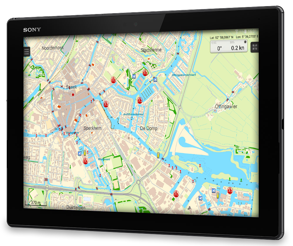
The area this chart covers is from Stavoren, Makkum, Grou to Lemmer. Navigate on the Heegermeer, Fluessen, Morra, Oudegaster Brekken, Zwarte Brekken and Witte Brekken, Sneekermeer, Koevordermeer, Tjeukemeer, Langweerderwielen, Pikmeer/Wijde Ee and the many ditches, canals and pools.
The water chart Frisian Lakes is available for free and gives you all the necessary information for navigation during water sports. This way you can easily get comfortable with the navigation software and digital water charts created by Stentec Software.
The perfect chart for Friesland This chart is perfect when you are planning a trip on the Frisian Lakes. Great while renting a boat, but also for skippers and crew of sailing boats, motorboats and sloops on the Frisian Lakes. Even while using a canoe or kayak or planning a fishing trip on the lakes this chart offers a clear image of your position of the beautiful Frisian landscape.
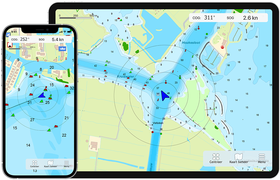
This is a detailed chart with a scale of 1m/pixel, comparable with 1:3.000 on screen.
Navigating with waypoints The database accompanied with the chart has 3.393 waypoints and offers all kinds of useful water sports information. For example harbours, buoys, docks, water sport campsites and gas stations.
The accurately placed buoys contain amongst others the so called 'slobbers'. These are marking buoys for bird resting areas which are in use from October 1st to May 1st. Outside of this period the buoys are replaced with yellow regatta buoys.
Also added to the chart are 'Marrekrite' natural moorings. Included are docks, sheet piling, rig jetties and mooring buoys.
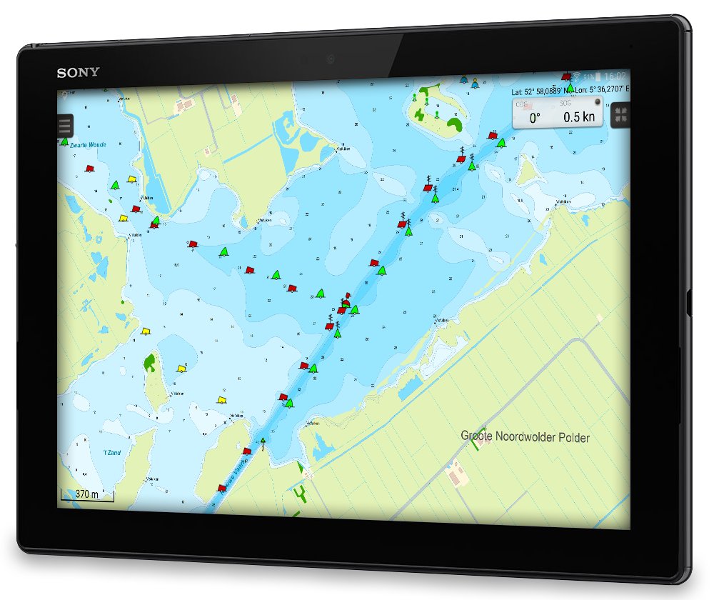
Depth image Processed within this chart is a unique, clear depth image received from the Friese Meren Project with beautiful colored depth levels and numbers along the water ways. Developed by Stentec in collaboration with Provincie Fryslân with the most recent depth measurements.
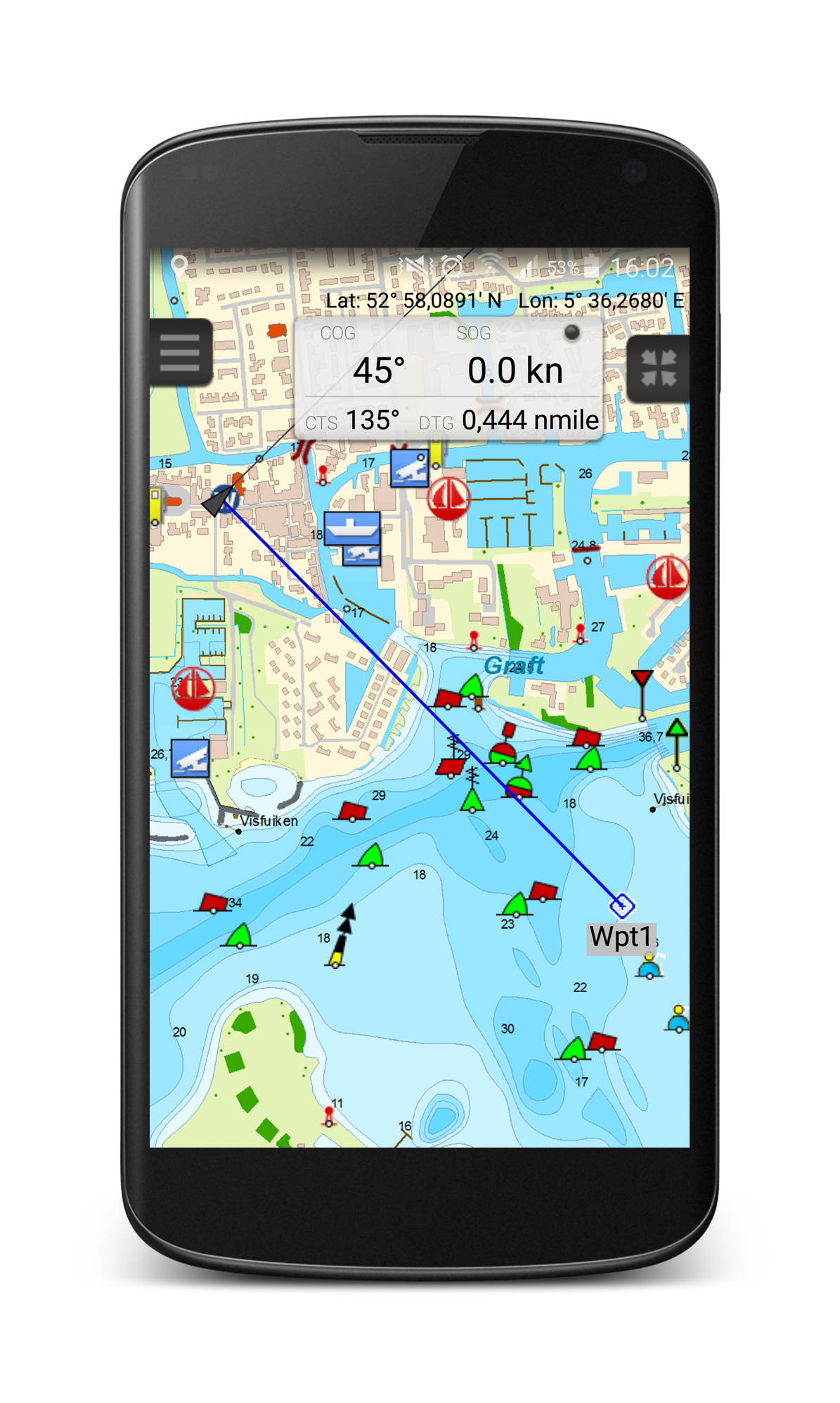
Planning routes with bridges & locks Bridges and locks are shown with passage height and width for planning your route. A lot of aqueducts are also shown.
Receive our newsletter?
Download for free This water chart is free to download and can be used on your Windows PC, iPhone, iPad or Android tablet or smartphone.
Android version
Windows version
Windows version
WinGPS Marine The navigation app to create a full navigational system on your iPhone, iPad or Android tablet or smartphone, including among others route planning and GRIB-files. The water chart Frisian lakes can be added to this app, possibly in combination with the other charts that Stentec offers..
Other Stentec Navigation products:
Vaarkaart The Netherlands Digital water chart of the complete Dutch inland waterways. Including free detailed charts of the Frisian lakes, Amsterdam and the Biesbosch. Can be used in WinGPS for Windows and WinGPS Marine for Android and iOS.
WinGPS Navigator Winner 'Hiswa Innovatieprijs 2011' for best route planner for open and inland waters on your Windows laptop or onboard PC. Recommended for starters.